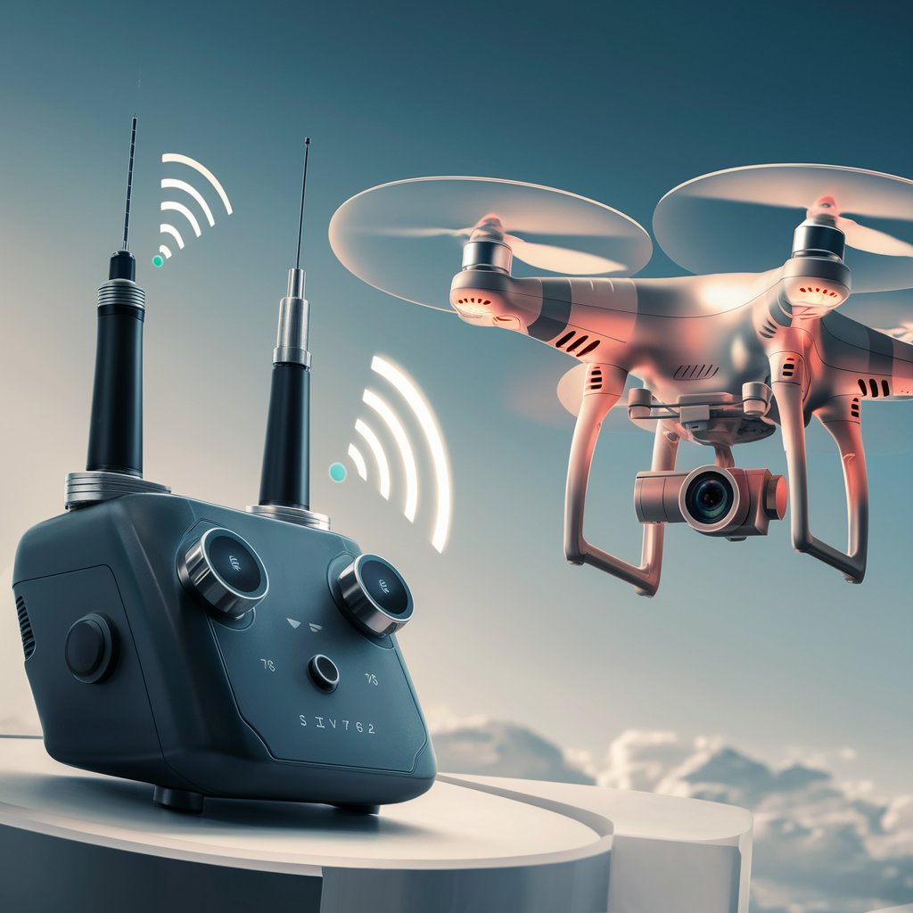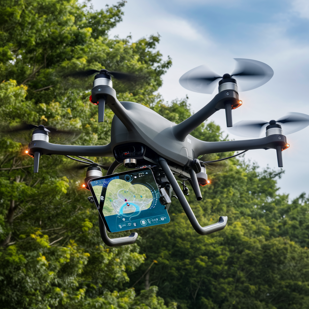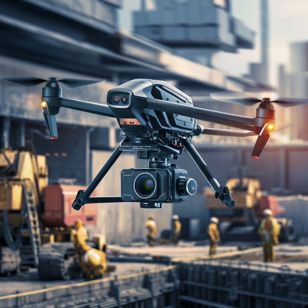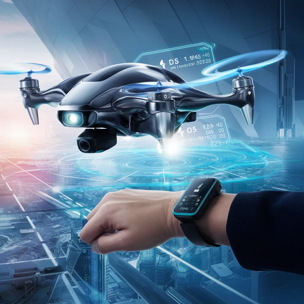
The World of Drones: Mastering Flight Controls 2024
Dive into the world of drone flight controls. From mastering basic maneuvers to navigating advanced settings, learn how precision and skill shape drone piloting. Discover the core principles of flight dynamics and enhance your drone operation skills.
The World of Drones: Mastering Flight Controls 2024 Read More »